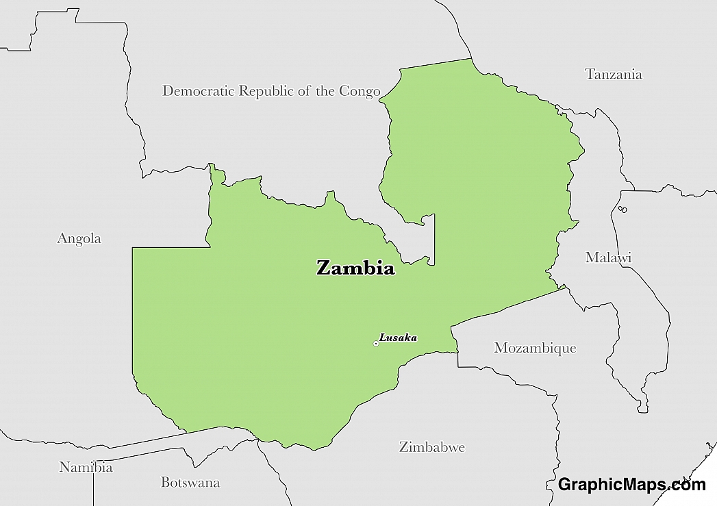
The capital of Zambia is Lusaka, which is located in the central region of the country near the southern border. It can be found in the province of Lusaka and in the district of the same name. Lusaka covers an area of 161 square miles on the central plateau at an elevation of around 4,196 feet above sea level. In 1935, Lusaka was officially designated as the capital of the British colony, then known as Northern Rhodesia. When Zambia gained its independence in 1964, Lusaka remained the official administrative capital.
The population of Lusaka city proper is a little over 1.74 million, although the entire metropolitan area has more than 2.46 million residents. This city has experienced significant population growth over recent decades. Today, it is a popular destination for rural to urban immigrants from Zambia as well as individuals from foreign countries.
Lusaka is a relatively popular tourist destination in Zambia, although most visitors tend not to stay here for long. Its popularity has grown, however, as development in this city continues to increase. Most of the attractions located here are modern structures, like shopping malls and restaurants. Other tourist attractions include: the Munda Wanga Environmental Park (which is home to a diverse range of plant and animal species), the Soweto Market (a traditional local market), the National Museum (which hosts a number of cultural and historical exhibits), and the Henry Tayali Art Gallery (which boasts locally handcrafted pieces of art).
Lusaka is located in a humid subtropical climatic zone, which means this city experiences warm and wet weather conditions most of the time. Its hottest temperatures occur during October and November. The coolest month is July, and the rainy season runs from December to February.
This page was last modified on May 1st, 2018
More on Graphicmaps

Published on 2019-11-06
What is a Trade Embargo?
Published on 2019-11-04
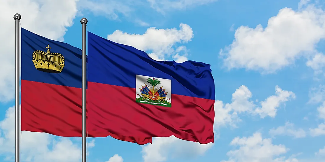
Which Two Countries Used to Have the Same Flag?
Published on 2019-09-16
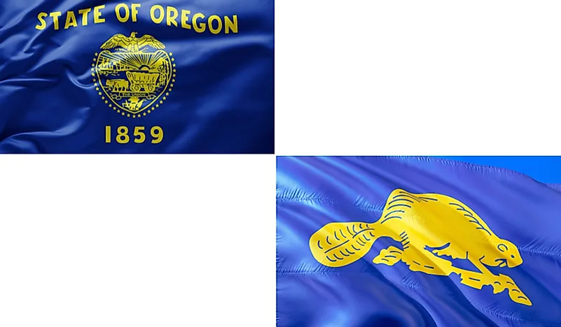
What Is the Only Two-Sided State Flag?
Published on 2019-09-16
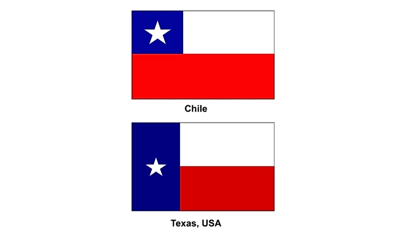
Which Country Flag Looks Like the Texas Flag?

Published on 2019-08-29
Flags That Resemble the US Flag

Published on 2019-08-20