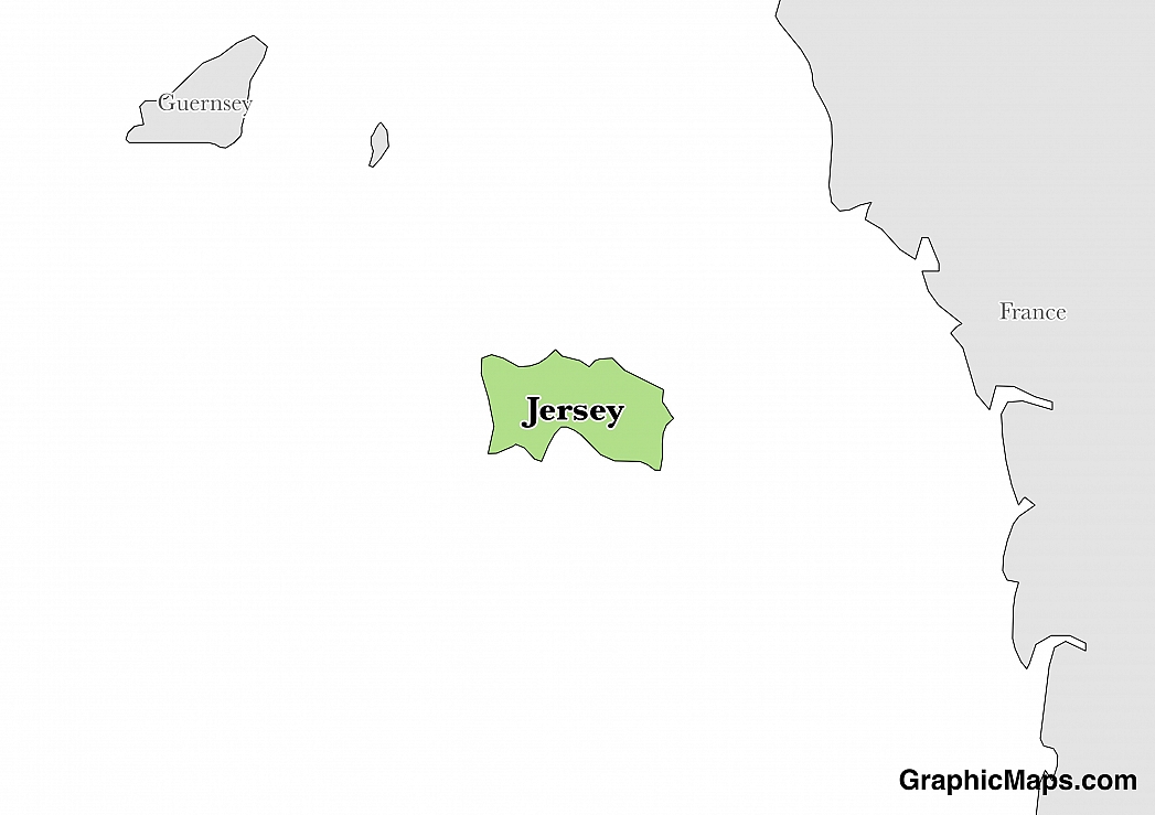
The city covers a surface area of 10.6 kilometers squared, which means it takes up 9% of the total land of Jersey. It has a flag and coat of arms, which is a blue background with two crossed gold axes. The blue background represents the sea while the two axes symbolize martyrdom of Helier by the Saxon pirates in 555.
The population of Saint Helier is 33,500, which is 34.2% of the total population of Jersey. The urban area of the parish makes up most of the largest area with some of it situated adjacent to St. Savior. As a parish, St. Helier is ranked 5th, behind St. Ouen, St. Brelade, Trinity and St. Peter.
Saint Helier has a rich history and is home to a number of tourist attractions. The island is known for its climate, which is mild in comparison with the surrounding areas. Interestingly, Jersey is also a popular destination for food lovers - the island is especially known for its production of potatoes.
Saint Helier has a maritime climate, under the Koppen climate classification. It has cool and wet winters while the summers are mild with adequate rainfall. The summers are sunnier, though chiller than Southern England. The coldest month in Saint Helier is January, with lows of 40 degrees Celsius and highs of 9.5 degrees Celsius. August is the warmest month in Jersey, with lows of 14 degrees Celsius and highs of 21 degrees Celsius. The wettest month is December, while July is the driest.
This page was last modified on May 1st, 2018
More on Graphicmaps

Published on 2019-11-06
What is a Trade Embargo?
Published on 2019-11-04
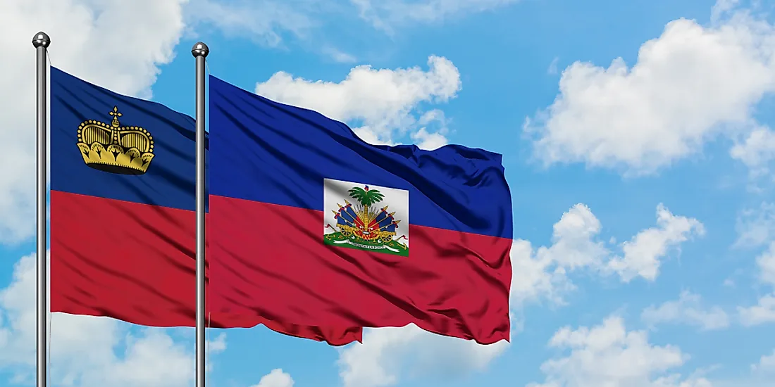
Which Two Countries Used to Have the Same Flag?

Published on 2019-09-16
What Is the Only Two-Sided State Flag?
Published on 2019-09-16
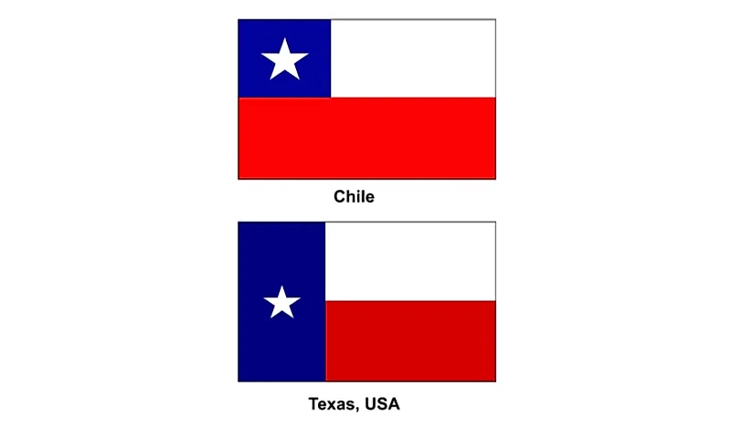
Which Country Flag Looks Like the Texas Flag?

Published on 2019-08-29
Flags That Resemble the US Flag

Published on 2019-08-20