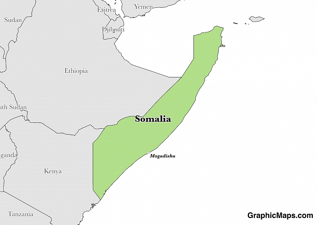
Where is Somalia?
Located in Eastern Africa, Somalia has a 2,385.00 km border with Djibouti (61 km), Ethiopia (1,640 km) and Kenya (684 km). It has a 3,025.00 km coastline. Ethiopian forces invaded southern Somalia and routed Islamist Courts from Mogadishu in January 2007.
Somalia is an African country covering 637,657.00 km2 of which 1.62% is water and 627,337.00 km2 is land. This makes it the 43rd largest country in the world and almost five times the size of Alabama; slightly smaller than Texas. Its geographic coordinates are 10 00 N, 49 00 E and Mogadishu is the capital city.
Somalia comes from the phrase "Land of the Somali".
Its ISO code is SO.
Geography
Somalia has a mean elevation of 410 m above sea level.
It has a semiarid climate that is subtropical along the east coast. Its terrain is mostly flat with some rising hills in the north.
Population
Somalia has a population of 10,817,354 making it the 83rd largest in the world.
Somali and Arabic are the most widely spoken languages. The major ethnic group is Somali. The majority of the country is Sunni Muslim.
The dialing code for the country is 252.
Government
Somalia is an independent country. It gained its independence in 1960. Its constitution was last ratified in 2012.
Economy
Factoring in Purchasing Power Parity, Somalia's GDP is $4,719,000,000.00 (USD) with $400.00 (USD) per capita. This makes it the 176th largest economy and its citizens the 219th richest in the world. The currency of Somalia is the Shilling (SOS).
Its major export partners are the United Arab Emirates, Oman, and Yemen. Its main exports are livestock, bananas, hides, fish, charcoal, and scrap metal. Its major import partners are Oman, Djibouti, and India. Its major imports include manufactures, petroleum products, and foodstuffs.
This page was last modified on January 17th, 2018
More on Graphicmaps
Published on 2019-11-06
What is a Trade Embargo?
Published on 2019-11-04
Which Two Countries Used to Have the Same Flag?
Published on 2019-09-16
What Is the Only Two-Sided State Flag?
Published on 2019-09-16
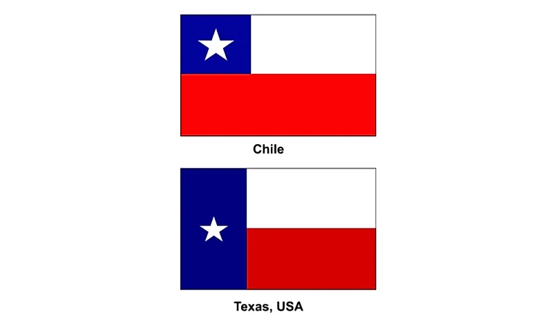
Which Country Flag Looks Like the Texas Flag?
Published on 2019-08-29
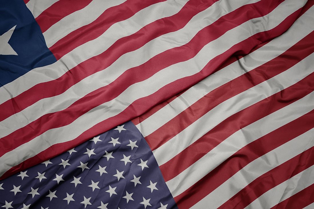
Flags That Resemble the US Flag
Published on 2019-08-20